Who Killed Cathy In Castlewellan?
Cathy O’Reilly from Castlewellan has been murdered and detectives need your help to solve the mystery around her death. Her body was found in Castlewellan lake but evidence tells us the murder was committed elsewhere… but where?
New and improved booklet now available, with more clues in Castlewellan Forest Park!
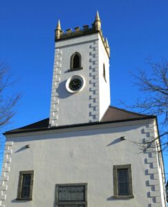 This Whodunit Hunt is a self-guided, walking murder mystery trail.
- On the clue route you’ll learn about the village’s history and characters who were part of it, especially the Annesley family who designed the village and created what is now Castlewellan’s Forest Park. See historic buildings, read about Castlewellan’s past railway history, enjoy the beauty of the forest park, even get a ghost story thrown in for good measure!
- The clue route is 2 ¼ miles / 3 ¾ km. The starting point is shown in the map below and the route ends in Castlewellan Forest Park near the lake.
- Nearly 30 clues to solve in a booklet packed with lots of extra historical and tourist trivia.
- Allow about two hours to solve this murder mystery, excluding any stops for refreshment.
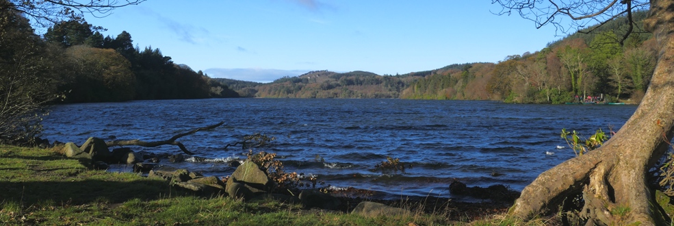
- You can extend your day here by spending time in the forest park (see below photo). There are many lovely walks in the park, as well as pretty gardens.
- Accessibility – the route is generally fairly flat, but with one hill to partly descend and climb back up.
- Refreshments – cafes, coffee shops, and restaurants are available here.
- Email clue help facility if you get stuck.
To purchase this Whodunit Hunt with credit / debit / Amex card please click here.
To pay using Paypal click here to order this trail.
The starting point is at the car park beside the King’s Inn at Lower Square, shown in the map below.

(c) 2023 – the term ‘Whodunit Hunt’, associated logo, website content, and all Hunt routes, ideas, images and photos, are protected by copyright. Any copying/distribution of anything embraced by our copyright is intellectual theft and therefore unlawful and illegal. Please respect the law as well as numerous years of our hard work.
Who Murdered Cora Rohan Along The Mourne Coastal Route?
Cora Rohan’s body has been found washed up on Cranfield West Beach but our investigators have uncovered very few leads and thus need your help to solve the murder. Although Cora’s body was found on the beach, we don’t believe she drowned or was murdered here and so advise that the evidence trail starts in Restrevor.
 The Mourne Coast Whodunit Hunt is a self-guided, driving murder mystery trail. It starts at Restrevor and ends on the outskirts of Newcastle.
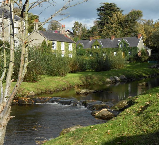
- The route includes sites spanning a broad period of history as far back as 5,000 years ago!! See an old castle, a mill, and a neolithic tomb, visit the seaside, read tales of smugglers and ghosts, and learn about the evolution of Kilkeel as a major port. En route enjoy lovely coastal and mountain scenery too.
- The driving route is 33 miles / 50 km.
- There is generally moderate walking at all clue stops, approx 2 ¼ miles / 3 ¾ km in total.
- Allow four hours to solve this Whodunit Hunt, excluding refreshment stops.
 Accessibility – the walking terrain is mostly quite flat, with only occasional moderate slopes and no steps.
- For refreshments, you will pass coffee shops, bars and restaurants along the route.
- Email clue help facility if you get stuck
To purchase this Whodunit Hunt with credit / debit / Amex card please click here.
To pay using Paypal click here to order this trail.
The starting point is beside Restrevor’s Kilbroney river bridge at the entrance to Fairy Glen:
(c) 2023 – the term ‘Whodunit Hunt’, associated logo, website content, and all Hunt routes, ideas, photos, are all protected by copyright. Any copying, impersonation or distribution of anything embraced by our copyright is intellectual theft and therefore unlawful and illegal. Please respect the law as well as all of our hard work.
Who Massacred Martin In The Mourne Mountains?
Martin McIntyre has been found murdered in the main village car park of Restrevor, County Down, though it is considered that the murder was not committed here and may have occurred somewhere outside of the village. Investigators have uncovered few leads and need your help to solve the murder.
 This Mourne Mountains Whodunit Hunt is a self-guided, driving murder mystery trail. It starts at Narrow Water Castle near Warrenpoint and ends at Bryansford, near Newcastle.
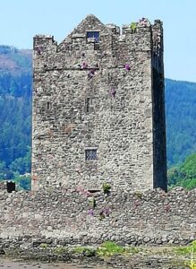
- See superb scenery in the Carlingford Lough and Mourne Mountains areas while learning about the history of towns and villages en-route, established hundreds of years ago, and the people that helped shape them. See a castle, an ancient Irish Cross, a ruined church, a neolithic tomb… and more!
- Over 30 clues to solve in a booklet that includes extra historical and tourist info!
- The driving route is only 23 miles / 37 km.
 There is about 1 ¼ miles / 2 km of walking in total, spread across the various clue stops of the route. At the end there is the opportunity to have a walk in beautiful Tollymore Forest Park, if time allows.
- Allow four hours to solve this murder mystery, excluding refreshment stops.
- Accessibility – it is fairly flat where all of the clues are to be found.
- Email clue help facility if you get stuck
To purchase this Whodunit Hunt with credit / debit / Amex card please click here.
To pay using Paypal click here to order this trail.
The starting point is shown in the map below:
(c) 2023 – the term ‘Whodunit Hunt’, associated logo, website content, and all Hunt routes, ideas, photos, are all protected by copyright. Any copying, impersonation or distribution of anything embraced by our copyright is intellectual theft and therefore unlawful and illegal. Please respect the law as well as all of our hard work.
