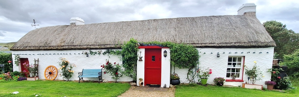
Who Popped Donald’s Clogs In The Downpatrick Area?
A member of staff was shocked to find old Donald Moore dead at the front entrance of Down County Museum one morning, propped up against the door on his bicycle. Crime scene investigators soon determined foul play but ruled out the museum as the murder location. Only you can determine the circumstances behind the crime committed!
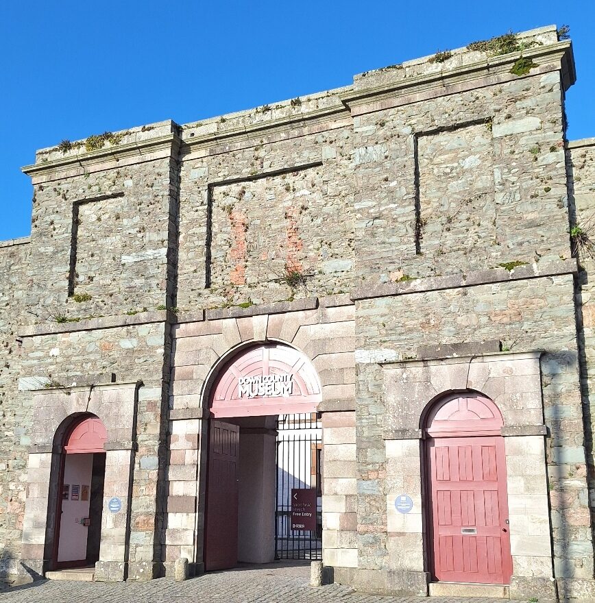 This is a self-guided, indoor murder mystery ‘taster trail’ in Downpatrick’s Down County Museum, for if you’re short on time or want to try a mini Whodunit Hunt to see if you’ll like them. Great for a wet day!
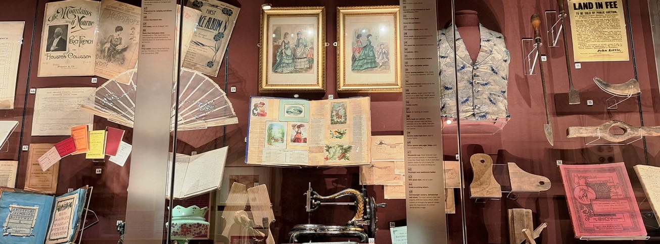
- Intriguingly, the mystery behind Donald’s death can be unravelled by following the evidence trail around the Down Through Time exhibition rooms using just some of the very interesting items on display to solve case clues! Time travel through 9,000 years of history from the Bronze Age to the 1970s!
- This may be a mini murder mystery but still has 16 clues to solve and a bit of historical trivia squeezed into it too! It costs a mere £3.99!
- Allow 45-60 minutes to solve the clues… though do spend more time checking out other exhibits as you go.
- You can do this trail on any day that the museum is open. Note, the museum is closed on Sundays, Mondays and of course on Christmas / New Years bank holidays.
- Accessibility – the clue route is literally about 100 metres long! Ramp and lift to exhibition rooms
- This murder mystery trail has been reviewed and approved by the museum curator; we thank him and fellow staff for their support and assistance during its creation.
To purchase this Whodunit Hunt with credit / debit / Amex card please click here.
To pay using Paypal click here (or in the menu) to order this, or any other, Whodunit Hunt.
The map below shows the location of the museum:

(c) 2023 – the term ‘Whodunit Hunt’, associated logo, website content, and all Hunt routes, ideas, images and photos, are protected by copyright. Any copying/distribution of anything embraced by our copyright is intellectual theft and therefore unlawful and illegal. Please respect the law as well as numerous years of our hard work.
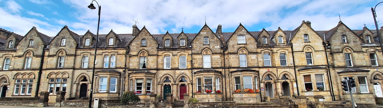
Who Nulled Newtownards’ Neil?
Neil Brown has been found murdered outside the Newtownards Arts Centre, where he always liked to sit to watch the world go by, but evidence suggests the murder was committed elsewhere. Are you up to solving the case?
 This is a self-guided, walking murder mystery ‘taster trail’ in Newtownards, for if you’re short on time or want to try a mini Whodunit Hunt to see if you’ll like them. We hope you do!
- Did you know that there have been people in the Newtownards area for around 1,400 years! On this mini trail you’ll visit several historic stops including the ancient priory and old market cross, learn about the TT motor races that occurred here in the last century, and find out about several people remembered en-route.
- This may be a mini murder mystery but is still packed with 16 clues to solve and a couple of extra bits of historical trivia too! It costs only £3.99!
- Allow 60-90 minutes to solve the clues.
- Accessibility – the clue route is only ¾ mile and is totally flat with no steps.
To purchase this Whodunit Hunt with credit / debit / Amex card please click here.
To pay using Paypal click here (or in the menu) to order this, or any other, Whodunit Hunt.

The clue hunt starts at the Ards Visitor Centre, shown below:
(c) 2023 – the term ‘Whodunit Hunt’, associated logo, website content, and all Hunt routes, ideas, images and photos, are protected by copyright. Any copying/distribution of anything embraced by our copyright is intellectual theft and therefore unlawful and illegal. Please respect the law as well as numerous years of our hard work.
Who Done In Don From Dungannon?
Don Meekin from Dungannon has been found murdered in the market square but our chief detective is reasonably sure he was murdered elsewhere, perhaps even outside the town. Don was seen arguing with a fishmonger at the market square recently – could this be a clue to his death, or just a red herring?
 This Whodunit Hunt is a self-guided, walking murder mystery trail.
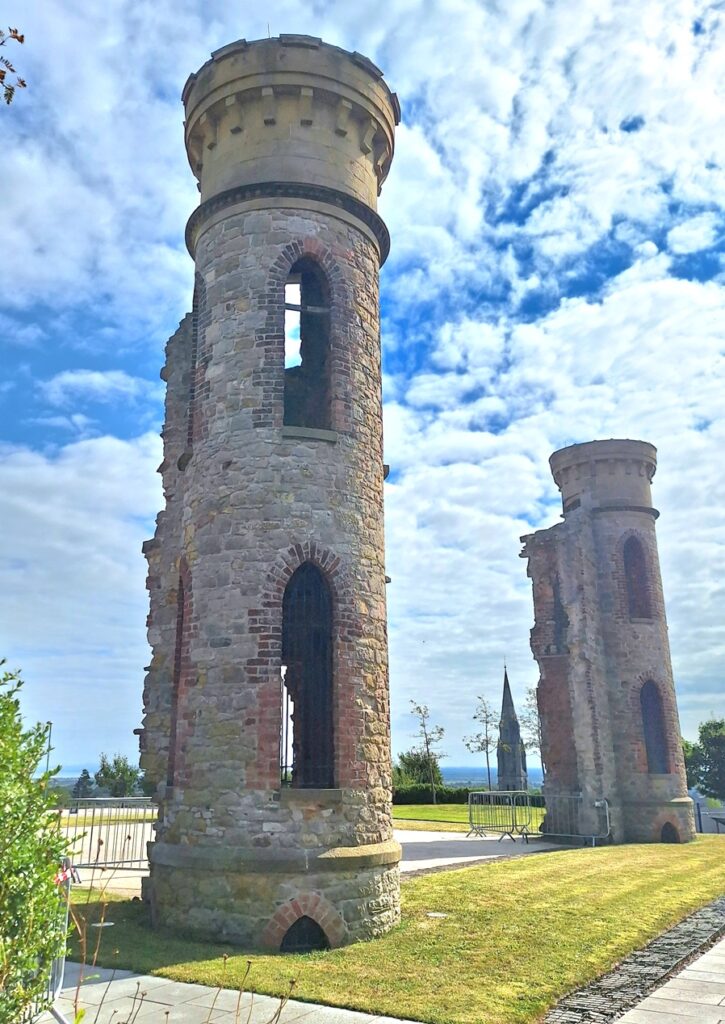
- Dungannon has a history stretching back hundreds of years ago when there was a castle above what is now the town. Explore key historic spots and attractions of Dungannon while solving a murder mystery! Visit the Hill Of The O’Neill with its iconic towers and stunning views, see impressive churches, find out about notable people in the town’s past… and more!
- The clue route is approximately 1 ½ miles, or about 2 ½ km.
- This Whodunit trail has nearly 30 clues in a booklet packed with several snippets of extra historical info.
- The recommended time for this murder mystery is 1½-2 hours, excluding any stops for refreshment.
- Accessibility – some streets are slightly hilly, with one steeper gradient up to the Hill Of The O’Neill.
To purchase this Whodunit Hunt with credit / debit / Amex card please click here.
To pay using Paypal click here (or in the menu) to order this, or any other, Whodunit Hunt.
The starting point is outside St Anne’s Church, shown below:
(c) 2023 – the term ‘Whodunit Hunt’, associated logo, website content, and all Hunt routes, ideas, images and photos, are protected by copyright. Any copying/distribution of anything embraced by our copyright is intellectual theft and therefore unlawful and illegal. Please respect the law as well as numerous years of our hard work.
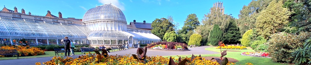
Who Squished Quinn At Queens?
Quinn O’Neill has been found murdered at Queens University and detectives need your help to solve the case. Although Quinn’s body was found at the foot of the Lanyon building tower, crime scene investigators confirm he didn’t fall and was left there to confuse us. The fact that he was enjoying his studies at Queen’s indicates foul play. But where was he killed? Follow the clue trail to solve the case.
 The Queen’s Quarter Whodunit Hunt is a self-guided, walking murder mystery trail in Belfast.
- Along the clue route discover a wealth of history with impressive architecture in many buildings that you pass, especially around the university. Learn about the development of this area (which wasn’t even part of Belfast in the 1800’s) and characters who shaped it in prior generations, follow in the footsteps of a king… and more! If time allows, visit beautiful Botanic Gardens towards the end of your clue hunt too.
- The clue route is less than 2 miles (3 km).
- Whodunit Hunt booklet packed with over 30 clues to solve in a booklet containing several pieces of extra historical info.
- The recommended time for this murder mystery is 2-3 hours.
- Accessibility – fairly flat route, with one moderate hill.
- Refreshments – there are many tempting restaurants, cafes, and coffee shops along the route, especially on Botanic Avenue.
To purchase this Whodunit Hunt with credit / debit / Amex card please click here.
To pay using Paypal click here (or in the menu) to order this, or any other, Whodunit Hunt.
The starting point is at the central gates in front of the Lanyon building, shown in the map below:
(c) 2023 – the term ‘Whodunit Hunt’, associated logo, website content, and all Hunt routes, ideas, images and photos, are protected by copyright. Any copying/distribution of anything embraced by our copyright is intellectual theft and therefore unlawful and illegal. Please respect the law as well as numerous years of our hard work.
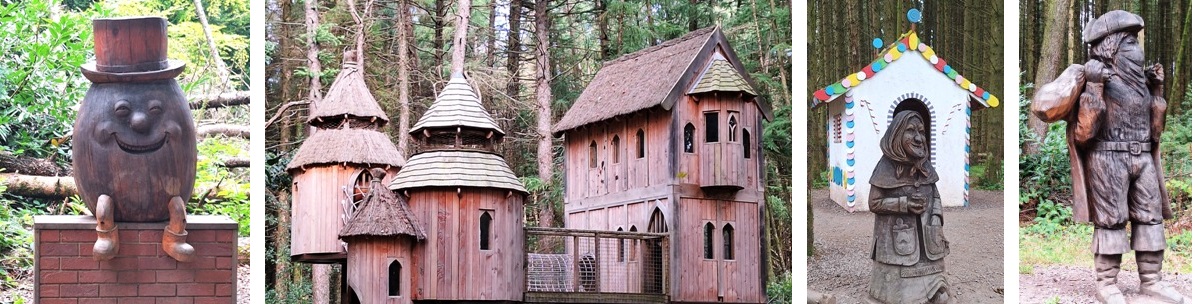
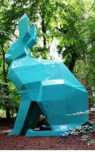
Who Took Katie’s Cookies?
It’s well known that magic folk like sweet treats, especially cookies. Alas some of the magic folk in Pomeroy Forest are a bit naughty and one of them has run off with some of Katie’s freshly baked cookies that she was delivering to the forest cafe! Katie is so upset she can’t even remember what flavour cookies are missing. So we need your help to solve the mystery of the missing cookies!
JUST LAUNCHED!
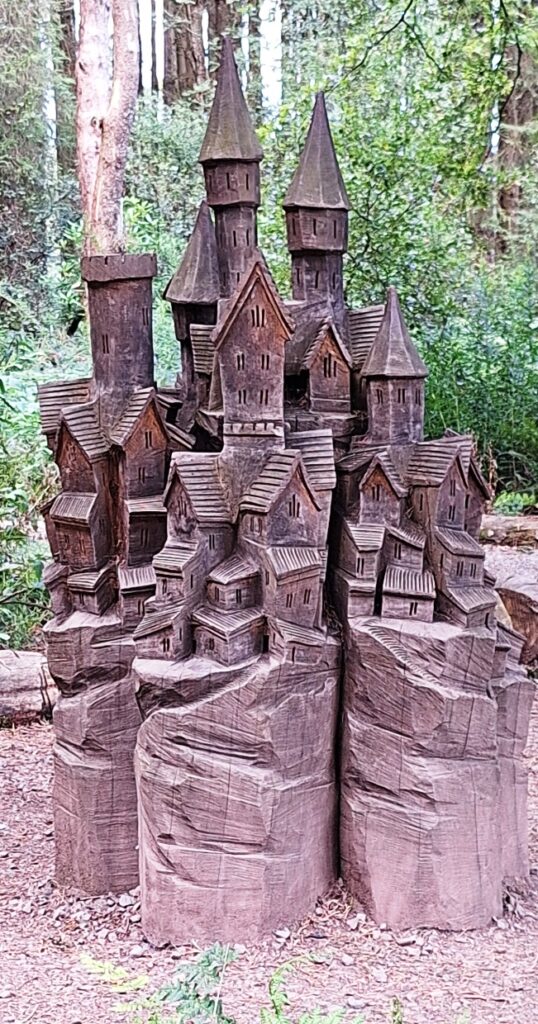 This Whodunit Hunt is a self-guided magical mystery trail on foot for families with young childen.
- Explore Pomeroy Forest Park in mid Ulster and search for clues to solve the mystery of the missing cookies. Follow the trail of fairy tales to read both well known stories and also discover local ones too, both of which provide clues to solve this mystery. See stunning wood carvings and enjoy assorted playparks.
- The clue route is approx 1.3 miles / 2 km long and this forest park is free to enter and park at.
- Whodunit Hunt booklet packed with 17 clues to solve as well as a snippet of trivia about the forest too! We’ll help you with two clues by email if you get stuck.
- Incredible value for a family at only £3.99 for a trail booklet… and definitely something different to do! Some clues might even help your young kids to count!
- The recommended time for this mystery trail is 1 ½ hours… depending upon how much energy your kids have at the playpark areas!
- Accessibility – the paths and clue route are generally flat, and great if you have a pram for a tiny tot!
To purchase this Whodunit Hunt with credit / debit / Amex card please click here.
Or to pay using Paypal click here.
The location of the forest is shown in the map below:

(c) 2023 – the term ‘Whodunit Hunt’, associated logo, website content, and all Whodunit Hunt routes, ideas, photos, are all protected by copyright. Any copying, impersonation or distribution of anything embraced by our copyright is intellectual theft and therefore unlawful and illegal. Please respect the law as well as all of our hard work.
Who Stole Carol’s Cookies?
It’s well known that magic folk like sweet treats, especially cookies. Alas some of the magic folk in Slieve Gullion Forest Park are a bit naughty and one of them has run off with a number of Carol’s freshly baked cookies! Carol is so upset she can’t even remember what flavour cookies are missing. So we need your help to solve the mystery of the missing cookies!
 This Whodunit Hunt is a self-guided magical mystery trail on foot for families with young childen.
- Explore the Giant’s Lair trail of Slieve Gullion Forest Park in County Down and search for clues to solve the mystery of the missing cookies. Learn about the legendary giant Fionn Mac Cumhaill, experience the land of the fairies both big and small, play some music too; parents can also enjoy great panoramic views of the countryside.
- The clue route is just over 1 mile long, or 1.7 km. It starts at the main car park of this forest park (note, £5 entrance fee for cars if you don’t have an annual pass).
- Whodunit Hunt booklet packed with 16 clues to solve as well as a couple of extra snippets of trivia! We’ll help you with two clues (by email) if you get stuck.
- Incredible value for a family at only £3.99 for a trail booklet… and definitely something different to do! Some clues might even help your young kids to count!
- The recommended time for this mystery trail is 1 – 1 ½ hours… depending upon how much energy your kids have! Allow time at the end for them to indulge at the playpark. There’s a good coffee shop here for assorted refreshments, including lunches.
- Accessibility – much of the path has inclines, some fairly steep… but certainly navigable for young kids (we’ve seen ’em)!
To purchase this Whodunit Hunt with credit / debit / Amex card please click here.
Or to pay using Paypal click here.
The starting point, and where to park, are both shown in the map below:
(c) 2023 – the term ‘Whodunit Hunt’, associated logo, website content, and all Whodunit Hunt routes, ideas, photos, are all protected by copyright. Any copying, impersonation or distribution of anything embraced by our copyright is intellectual theft and therefore unlawful and illegal. Please respect the law as well as all of our hard work.
Who Killed Leo From Letterkenny?
Leo McInure from Letterkenny has been found murdered! Our best investigator is struggling to conclude the case and needs your help to solve the murder. Although his body was found dumped at the side of the road at Barnesmore Gap it is believed that he was murdered elsewhere. So it is recommended to start the hunt for clues at Letterkenny, where he lived.
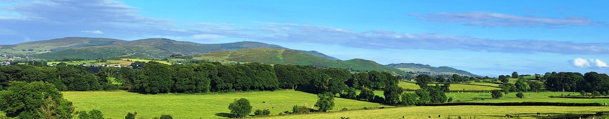
 The Barnesmore Gap Trail is so named as the road traverses this scenic gap as it passes the Bluestack Mountains. Starting at Letterkenny, you’ll proceed to the pretty ancient village of Raphoe, pass through Stranorlar, see beautiful Lough Eske, and solve a few remaining clues in Donegal town. See beautiful churches, stunning mountain and lake scenery, learn about the potato famine… and more!
- We’ve squeezed 30 clues into this self-guided, driving murder mystery trail, with lots of historical information in our Whodunit Hunt booklet so you get to know a little more about the places you’re visiting.
- The route is 64 km / 40 miles and there are generally moderate amounts of walking at each of the clue stops. You could do an extra walk in Drumboe Woods en route if you wanted to pause your clue hunting there.
- We suggest allowing 4-5 hours to complete this Whodunit Hunt, excluding extended refreshment stops…. so it’s great for a wee day out.
- Accessibility – once out of the car the terrain is generally fairly flat, albeit with one short, steep hill at the start.
- Note, if you live halfway along the trail (such as at Stranorlar) then start by solving the clue closest to where you live, solve remaining clues and then drive up to Letterkenny and solve the remaining clues back to where you started!
To purchase this Whodunit Hunt with credit / debit / Amex card please click here and type Barnesmore in the ‘Special Requests’ field at the start of the purchase page.
To pay using Paypal click here (or in the menu) to order this, or any other, Whodunit Hunt.
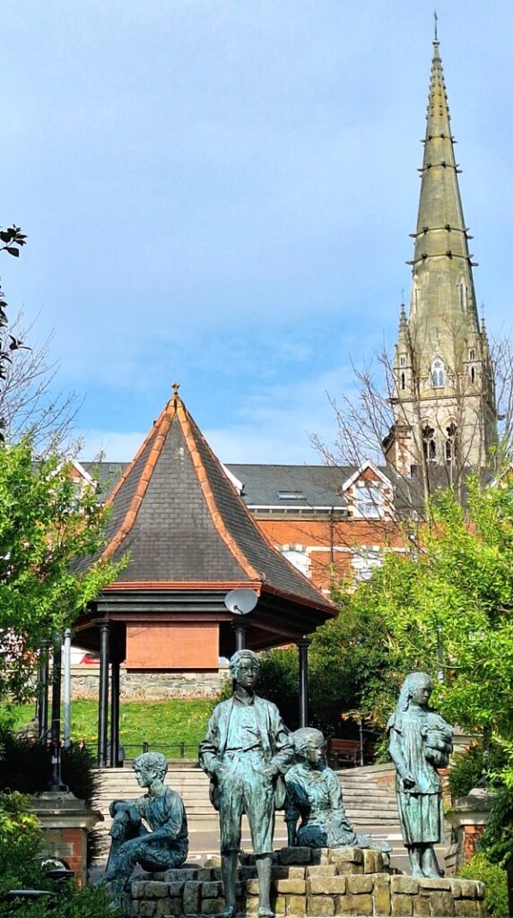
The starting point is at the bottom of Market Square in Letterkenny, opposite the Market Centre entrance, shown below:
(c) 2023 – the term ‘Whodunit Hunt’, associated logo, website content, and all Hunt routes, ideas, images and photos, are protected by copyright. Any copying/distribution of anything embraced by our copyright is intellectual theft and therefore unlawful and illegal. Please respect the law as well as numerous years of our hard work.
Who Murdered Mary From Moville?
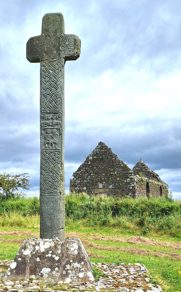
Mary Malone from Moville has alas been found murdered. Even our best investigator is still trying to link the evidence together and thus needs your help to solve the case. Mary’s body was found at the graveyard beside the Cooley Cross near Moville – we believe she was killed elsewhere, but feel it best to start your hunt for clues at the cross.
-
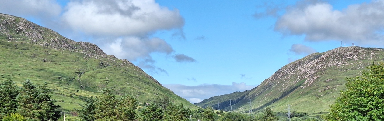
 The Inishowen Peninsula Trail Whodunit Hunt is a self-guided, driving murder mystery trail. It starts near Moville and ends at the impressive Grianan of Aileach which dates back to the 1st Century and provides a fantastic view of the route you’ve come.
- The clue route includes historic sites spanning almost 2,000 years of history, including ancient Irish crosses, monastic sites, a saint’s grave, and more! You’ll also see much stunning coastal and mountain scenery too.
- The clue route is 85 km, or about 53 miles. There is generally very moderate walking at all of the clue stops.
- If you wish, and provided that time allows, there is the opportunity to pause in your clue hunting at Malin and visit impressive Malin Head nearby, the most northerly point in Ireland.
- We suggest allowing five hours to complete this Whodunit Hunt, excluding extended refreshment stops.
- Accessibility – once out of the car the terrain is generally quite flat.
To purchase this Whodunit Hunt with credit / debit / Amex card please click here and type Inishowen in the ‘Special Requests’ field at the start of the purchase page.
To pay using Paypal click here (or in the menu) to order this, or any other, Whodunit Hunt.
The starting point is at the Cooley Cross near Moville, shown below:
(c) 2023 – the term ‘Whodunit Hunt’, associated logo, website content, and all Hunt routes, ideas, images and photos, are protected by copyright. Any copying/distribution of anything embraced by our copyright is intellectual theft and therefore unlawful and illegal. Please respect the law as well as numerous years of our hard work.
Who Done In Don From Donegal?
Donald McGinley has alas been found murdered in the popular historic town of Donegal. Although his body was found in the Diamond of Donegal we’re not at all sure that the murder was committed here. So the hunt for clues starts at the main town car park beside the river.
New launch!
 The Donegal Whodunit Hunt is a self-guided, walking murder mystery trail.
- Discover numerous historic spots along the clue trail in Donegal including the ancient abbey, the impressive castle, the railway museum, churches… and more! Learn about the history of the town too, and characters that shaped it over hundreds of years.
- The clue route is 2 km / 1 ¼ miles.
- The Whodunit Hunt booklet is packed with almost 30 clues to solve as well as several extra pieces of historical information!
- The recommended time for this murder mystery is two hours, excluding refreshment stops.
- Accessibility – the route is mostly quite flat with no steps.
To purchase this Whodunit Hunt with credit / debit / Amex card please click here and type Donegal in the ‘Special Requests’ field at the start of the purchase page.
To pay using Paypal click here (or in the menu) to order this, or any other, Whodunit Hunt.

The starting point is at the far end of the main car park beside the river, near the statue shown in the map below:
(c) 2023 – the term ‘Whodunit Hunt’, associated logo, website content, and all Hunt routes, ideas, images and photos, are protected by copyright. Any copying/distribution of anything embraced by our copyright is intellectual theft and therefore unlawful and illegal. Please respect the law as well as numerous years of our hard work.
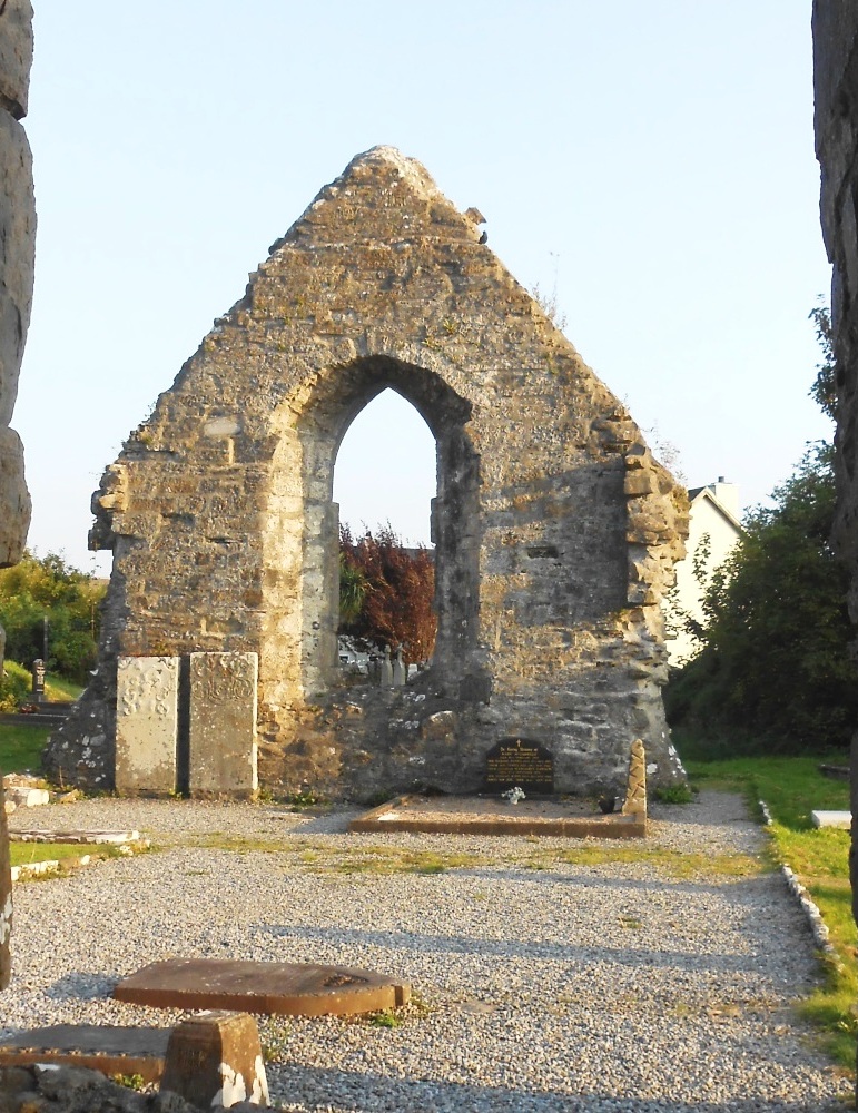
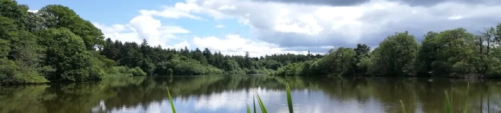
Who Rubbed Out Helena’s Life In Royal Hillsborough?
Helena Roberts has been found dead in Royal Hillsborough. With a heavy case load our chief detective needs your help to solve this murder mystery. Although Helena’s body was found in the lake the coroner has ruled out drowning. So how did she get here? Was her body dumped to throw us off the scent? Only by following the evidence trail will all be revealed!
 This is a self-guided walking Whodunit Hunt in Royal Hillsborough, County Down.
- On your clue hunt you’ll see historic buildings, strange creatures in the forest, the village’s fort and beautiful lake nearby. Also learn about the history of Hillsborough, spanning hundreds of years, and characters that shaped it! We’ll tell you about ghosts haunting Hillsbrough Castle too!
- The clue route is 2 ¼ miles / 3 ½ km. Allow at least two hours to solve this case.
- Accessibility – there are some slopes, primarily the hill in Royal Hillsborough.
- There are assorted places for refreshment, including delicious sweet treats on Lisburn Street!
To purchase this Whodunit Hunt with credit / debit / Amex card please click here.
To pay using Paypal click here (or in the menu) to order this, or any other, Whodunit Hunt.
The starting point is shown in the map below.
(c) 2023 – the term ‘Whodunit Hunt’, associated logo, website content, and all Hunt routes, ideas, images and photos, are protected by copyright. Any copying/distribution of anything embraced by our copyright is intellectual theft and therefore unlawful and illegal. Please respect the law as well as numerous years of our hard work.
