Lecale Coast Trail

Who Liquidated Colm Along The Lecale Coast?

Colm O’Brien has been found murdered in the village of Rossglass and our best investigator is struggling to narrow down leads. We need your help to confirm their suspicions and crack the case! It is believed that Colm was murdered outside of the village and so the clue trail starts near Newcastle, at the ancient Maghera Church and Round Tower site.
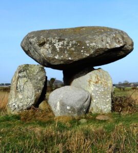
  • The Lecale Coast Trail is a self-guided, non-circular driving Whodunit Hunt.
  • This murder mystery trail is jam-packed with historic sites along a driving route of only 30 miles (about 50 km). You will see neolithic sites including the portal tomb shown in the photo and a large stone circle, numerous castles with seven in the coastal town of Ardglass alone, a church over a thousand years old… and more!! Also enjoy beautiful coastal scenery and learn about characters who shaped the area’s history.
  • There is generally moderate walking, about 3 miles or 5 km in total, which is spread across all of the clues. Sensible shoes are required (e.g. trainers) for the walk to the stone circle clue.
  • It is recommended to allow at least four hours to solve this murder mystery, excluding refreshment stops.
  • Accessibility – once out of the car the terrain is generally fairly flat, but a few clues do require reasonable mobility.
  • There are assorted places for refreshment along the route in many towns and villages.

To purchase this Whodunit Hunt with credit / debit / Amex card please click here.

To pay using Paypal click here (or in the menu) to order this, or any other, Whodunit Hunt.

The starting point is shown in the map below.

crime scene tape on white

(c) 2023 – the term ‘Whodunit Hunt’, associated logo, website content, and all Whodunit Hunt routes, ideas, photos, are all protected by copyright. Any copying, impersonation or distribution of anything embraced by our copyright is intellectual theft and therefore unlawful and illegal. Please respect the law as well as all of our hard work.

Slieve Croob Trail

Who Slayed Steve Crook In The Slieve Croob Area?

Steve Crook has been found murdered in the Slieve Croob area, and although we know his surname is quite appropriate his petty crimes didn’t deserve such a gruesome end. Although his body was found dumped at the Slieve Croob car park it’s not clear that he was murdered here and the clue trail starts on the Castlewellan Road east of Rathfriland.
  • The Slieve Croob Trail is a self-guided driving Whodunit Hunt that starts between Rathfriland and Castlewellan and ends at the old market town of Ballynahinch.
  • You will discover quite a number of historical places on this murder mystery trail as well as see beautiful scenery. En route you’ll visit one of the most photographed neolithic sites in Ireland, two early-Christian souterrains, stop at a village where the remains of a flax mill are located, and learn about the evolution of Ballynahinch which dates back hundreds of years with a turbulent history.
  • The clue route from start to end is 32 miles, or about 51 km.
  • There is generally moderate walking, about 2 ¼ miles / 3 ¼ km in total.
  • It is recommended to allow four hours to solve this murder mystery.
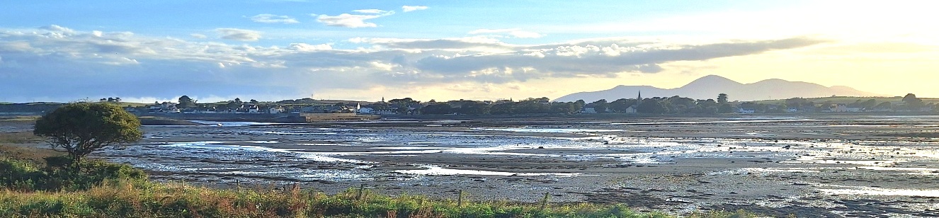
  • Accessibility – once out of the car the terrain is generally fairly flat, but a few clues require reasonable mobility. We recommend taking sensible shoes… AND a torch if you fancy going on an Indiana Jones type adventure!

To pay using Paypal click here (or in the menu) to order this, or any other, Whodunit Hunt.

To purchase this Whodunit Hunt with credit / debit / Amex card please click here.

The starting point is shown in the map below:

crime scene tape on white

(c) 2023 – the term ‘Whodunit Hunt’, associated logo, website content, and all Hunt routes, ideas, photos, are all protected by copyright. Any copying, impersonation or distribution of anything embraced by our copyright is intellectual theft and therefore unlawful and illegal. Please respect the law as well as all of our hard work.

Tassagh Trail

Who Murdered Mark From Markethill?

Mark Maloney from Markethill has been murdered and detectives need your help to solve the mystery around his death. Although his body was found dumped outside the entrance to Gosford Park, it is believed the murder was not committed here and he may well have been murdered outside the village.
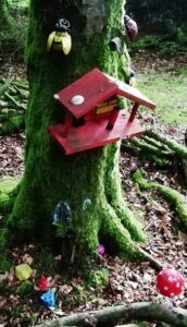
  • The Tassagh Trail Whodunit Hunt is a self-guided, driving murder mystery trail. It starts at the outskirts of Markethill near Gosford Forest Park and ends at the fairy village in Darkley Forest, passing various places in the Tassagh area along the way.
  • Discover numerous historical places as well as lovely natural spots. En route, learn about the history of Markethill, Keady and the Tassagh area that was influenced by the milling industry. See the second oldest graveyard in the whole of Ireland, an impressive railway viaduct, a number of lakes, visit three forest parks (all for free) with a charming fairy village in one of them… and more!
  • The clue route is 36 miles, or about 58 km. There is generally moderate walking, about 2 miles / 3 km in total… unless you wish to do extra walks at any of the forest areas.
  • It is recommended to allow four hours to solve this murder mystery, excluding refreshment stops. You can also do a forest walk midway, if you wish and time allows.
  • Accessibility – the terrain is generally fairly flat. Some clues require reasonable mobility, with a couple having steps to climb.
  • There are various refreshment options, mostly in Markethill, Keady, and Castleblaney.

To pay using Paypal click here (or in the menu) to order this, or any other, Whodunit Hunt.

To purchase this Whodunit Hunt with credit / debit / Amex card please click here.

Muckno Lake 2

The starting point is at Markethill shown in the map below, parking where it says B78 just off the A28:

crime scene tape on white

(c) 2023 – the term ‘Whodunit Hunt’, associated logo, website content, and all Hunt routes, ideas, photos, are all protected by copyright. Any copying, impersonation or distribution of anything embraced by our copyright is intellectual theft and therefore unlawful and illegal. Please respect the law as well as all of our hard work.

Feedback Comments

See below for just some of the positive and real feedback we’ve received:

We loved it! Great fun to complete and learn about places along the way Can’t wait to do another trail soon!” Michael G (Tassagh Trail WH, Aug 25)

Really enjoyed it!” Adeline J (Harry Ferguson Taster WH, Aug 25)

We thoroughly enjoyed it. Looking forward to doing more. Recommended to people on my travels.” Karen L (Glenarm WH, Aug 25)

This was so much fun for all the family!” Hannah S (Lurgan WH, Aug 25)

Fantastic Bank Holiday amusement!” Paul J (Newcastle WH, Aug 25)

We had a great day in Armagh. The game made it very interesting. Will do another hunt soon, thank you.” William P (Armagh WH, Aug 25)

Overall a lovely afternoon with the family including 7 and 9 year olds. First hunt and will definitely do more. Thanks!.” Corina W (Randalstown, Aug 25)

Really enjoyed it! First time we’ve ever done one. Would definitely do again.” Kerry Ann (Lecale Coast WH, July 25)

Really, really enjoyed it, will definitely try more. Big hit with 8 year old.” Toni R (Donegal WH, July 25)

Very much fun! enjoyed it a lot.” Svein F (Drogheda WH, July 25)

Great idea and really well thought out. Spent a pleasant couple of hours with the family and dogs. Thank you!” Dawn Marie (Newcastle WH, June 25)

Very enjoyable! Good fun and good value for money.” Patricia D. (Dundalk WH, June 25)

Really enjoyed it… great way to explore a town and learn its history. It’s a great concept.” Steve P. (Lurgan WH, June 25)

Loved it!! Not too easy, not too tough.” Caroline C. (Castleblaney WH, June 25)

Had a beautiful day for it and loved the Hunt. Even learnt a few things along the way!” Michele W (Randalstown WH, May 25)

A great, informative afternoon on an accessible tour of this historic site.” James T (Carrickfergus WH, May 25)

The directions at the end got a little confusing.” Francis (Mournes WH, May 25)

Great fun, we had a blast! Will be doing more places.” Paul B (Sligo WH, Apr 25)

Great wee day out with the grandchildren.” LM (Whitehead WH, Apr 25)

“Really good for a rainy day.” Lois W (St Patrick’s Trail WH, Apr 25)

Good length, not too difficult and dog friendly!” Julieanne (Whitehead WH, Mar 25)

Bought as a gift for my Mum… she absolutely loved it. So well thought out we highly recommend.” Anna (Castlewellan WH, Mar 25)

Loved doing this trail and shall definitely do more. It’s great to see these trails all over Ireland… thank you for creating these trails.” Margi. D. (Bangor WH, Feb 25)

We enjoyed our trail immensely! Great way to visit places and learn a bit more about the history of our little country.” – Karen D. (Tassagh Trail WH)

Thoroughly enjoyed it, learned and saw things we would not have otherwise. Looking forward to doing more trails.” – Lynne H. (Bangor WH)

This was out second Whodunit in a few weeks and can’t wait to try out more. Fun way to spend our day.” – Simon R. (Holywood WH)

We really enjoyed your trail. Thank you!” – Cat (Bangor WH)

Enjoyed being made to engage with locations and signage, being made to look at things that would have (otherwise) just passed by” – Karen S. (Deluxe Ards Peninsula WH)

Really enjoyed the route… we were introduced to a number of new locations. Clues were fun and interesting, both for young and old” – Michelle (Lough Neagh)

Really, really fun! Very enjoyable way to spend a Saturday afternoon, a nice walk too.” – Rose & Chris (Newry WH)

“Very fun and challenging!”Helen S. (Belfast City WH)

“Very fun and the clues are great”Sheryl C. (Newcastle WH)

“…loved to discover so many things about Ardee, it would encourage me to go back and explore more. Difficulty finding the place to park at the start.” – Wee. M

Brilliant! Something different… discovered interesting places on our search.” – Rose & Chris (Tandragee Trail)

Great way to spend the afternoon. Certainly tests the powers of observation!” – Detective Simerjan (Japanese Division) – 3 trails!

“…an entertaining few hours exploring a new town, especially with a purpose. Far more engaging than aimless wandering…” – Caoilfhinn (Belfast WH)

“Great fun!” Lornah (Castlewellan WH)

Fantastic!!! There is obviously a lot of work that has gone into this!” – Margaret

Very good. Enjoyed it.” – Detective TS (Lurgan)

See map below of available Whodunit Hunts, and an indication of more coming soon. Use the ‘Buy & Explore’ menu options for more details and to buy a Whodunit Hunt.

crime scene tape on white

(c) 2023 – the term ‘Whodunit Hunt’, associated logo, website content, and all Whodunit Hunt routes, ideas, photos, are all protected by copyright. Any copying, impersonation or distribution of anything embraced by our copyright is intellectual theft and therefore unlawful and illegal. Please respect the law as well as all of our hard work.

Boyne Valley

Who Bumped Off Brigid in the Boyne Valley?

Brigid O’Hare has been found murdered in the village of Slane in the Boyne Valley. Few leads have been uncovered and detectives need your help to solve the murder. Although her body was found in the Square of Slane, it is believed this was not where she was killed and thus suggest the clue trail starts at the Monasterboice Crosses car park.
  • Discover huge ancient monuments, a historic battle site, an old abbey, round towers dating back over 1000 years, ancient burial sites over 5000 years old… and more! You will also explore the historical small town of Slane which has many old buildings as well as a connection to a famous poet.
  • The clue route is only 25 miles, or about 40km, to the end point at Donaghmore Tower near Navan.
  • We suggest allowing four hours to solve this  Whodunit Hunt, excluding any refreshment stops.
  • There is a moderate amount of walking at quite a number of locations.
  • Accessibility – most clues are generally flat apart from some clues in Slane on inclined roads.
  • For refreshments, Slane is your best bet with quite a number of options.

To pay using Paypal click here (or in the menu) to order this, or any other, Whodunit Hunt.

To purchase this Whodunit Hunt with credit / debit / Amex card please click here and type Boyne Valley in the ‘Special Requests’ field at the start of the purchase page.

The start of the Whodunit Hunt is shown in the map below:

crime scene tape on white

(c) 2023 – the term ‘Whodunit Hunt’, associated logo, website content, and all Hunt routes, ideas, photos, are all protected by copyright. Any copying, impersonation or distribution of anything embraced by our copyright is intellectual theft and therefore unlawful and illegal. Please respect the law as well as all of our hard work.

Cooley Peninsula

Who Clobbered Colin At The Cooley Peninsula?

Colin O’Brien has been found murdered in the village car park of Carlingford, though it is believed this was not where the murder was committed. Our best investigators have uncovered few leads and need your help to solve the murder. 
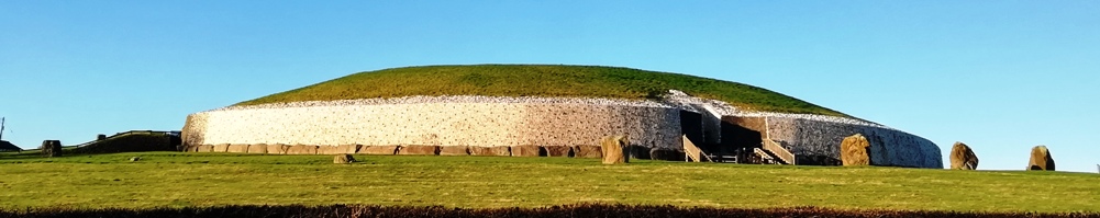
  • The Cooley Peninsula Whodunit Hunt is a self-guided, driving murder mystery trail. It starts beside Newry’s Quays shopping centre and ends at the village of Lordship near Dundalk.
  • The Cooley Peninsula has a wealth of history to discover, including maritime disasters, castles and a priory, and the people (some of royal heritage) that have shaped the area’s history. You will also visit a site of great religious significance, see much wonderful scenery… and more!
  • The clue route is only 19 miles, or about 31km, plus return to Newry/home. There is generally moderate walking, mostly in Carlingford where you have 0.9 miles / 1.4 km to cover.
  • The recommended time to solve this murder mystery hunt, excluding refreshment stops, is 3-4 hours.
  • Accessibility – once out of the car the terrain is generally quite flat, with only occasional moderate slopes and no steps.
  • For refreshments, you will pass a lovely tea room with many irresistible cakes, convenience stores, as well as a number of bars and restaurants along the route – our recommendations are in Carlingford.

To pay using Paypal click here (or in the menu) to order this, or any other, Whodunit Hunt.

To purchase this Whodunit Hunt with credit / debit / Amex card please click here.

The starting point is beside the Quays in Newry, as shown below; you start by heading south along Albert Basin.

crime scene tape on white

(c) 2023 – the term ‘Whodunit Hunt’, associated logo, website content, and all Hunt routes, ideas, photos, are all protected by copyright. Any copying, impersonation or distribution of anything embraced by our copyright is intellectual theft and therefore unlawful and illegal. Please respect the law as well as all of our hard work.

Slieve Gullion

Who Slaughtered Steven Gray In The Slieve Gullion Area?

Steven Gray has been found murdered at Meigh, near Newry, but it is believed he was killed elsewhere. Even our best team of investigators have uncovered very few leads and thus need your help to solve the murder.

Standard and deluxe length versions now available!!

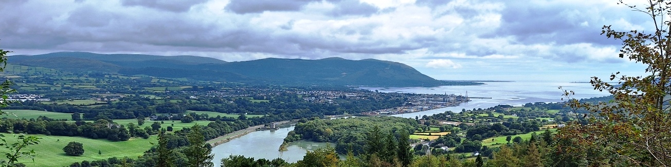
  • The Slieve Gullion Whodunit Hunt starts at Derrymore House, near Newry.
  • This is a self-guided, circular driving murder mystery trail.
  • You’ll see super mountain scenery as you drive around the Ring Of Gullion area. Also learn about the area’s past linen industry, visit a National Trust woodland house, an ancient church and significant monastic site, a nelithic tomb dating back thousands of years… and more!
  • Having created the new standard trail version we’ve even squeezed in an extra optional site to see en-route in both versions of this murder mystery, the tripod dolmen shown in the top photo! You can read about this tomb here.
  • The standard version of this trail has a route of only 19 miles, or 31 km! The recommended time to solve the case is 3-4 hours.
  • There is about 2½ miles / 4 km of walking in total, spread across numerous clue stops along the route.
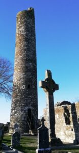
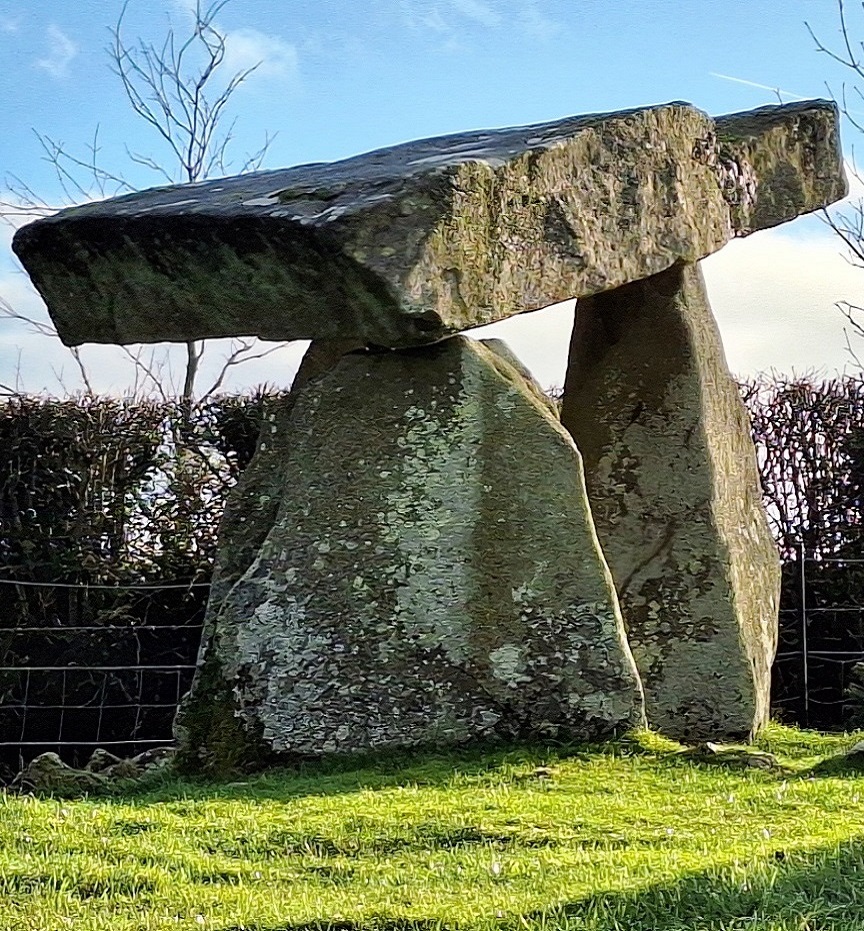
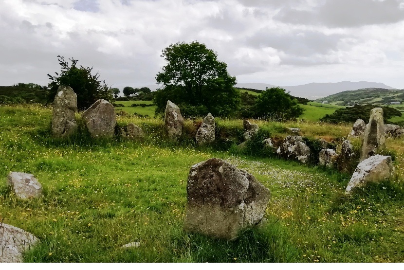
  • The deluxe version of this trail also visits a graveyard where the brother of Robert The Bruce is buried, a ruined castle, and a holy shrine – it has 39 clues in a bumper-sized booklet that we suggest allowing at least five hours to solve. The deluxe route is about 40 miles / 64 km with an extra ½ mile of walking.
  • Accessibility – it is mostly fairly flat where the clues are to be found.
  • There are several bars, cafes, coffee shops, and convenience stores along the route.
  • Note: in April 2024 a parking charge of £5 was introduced by Slieve Gullion Forest Park. It is possible to avoid this with additional walking (and we’ve given instructions in the booklet if necessary), but for all this investigative fun we think that this fee on top of the price of the Whodunit booklet is still incredible value!

To pay using Paypal click here (or in the menu) to order this, or any other, Whodunit Hunt.

To purchase this Whodunit Hunt with credit / debit / Amex card please click here.

The starting point is shown in the map below:

crime scene tape on white

(c) 2023 – the term ‘Whodunit Hunt’, associated logo, website content, and all Hunt routes, ideas, photos, are all protected by copyright. Any copying, impersonation or distribution of anything embraced by our copyright is intellectual theft and therefore unlawful and illegal. Please respect the law as well as all of our hard work.

Antrim Coast

Who Archived Ann At The Antrim Coast?

Ann Collins has been found murdered on the beach at Ballygally, Northern Ireland, although crime scene technicians concluded that she didn’t drown and was killed elsewhere. Our best investigators have uncovered few leads and thus need your help to solve the crime.
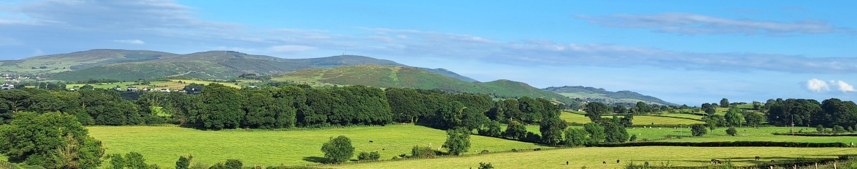
  • The Antrim Coast Whodunit Hunt starts at the junction of Tower Road in Larne and ends near Cushendall.
  • This is a self-guided, non-circular driving murder mystery trail.
  • Visit lovely villages and learn about key figures in the history of the area hundreds of years ago… and its geology tens of millions of years ago. See castles and towers, historic memorials and ruined churches, stunning coastline too… and even the Scottish coast on a clear day!
  • Over 30 clues to solve now we’ve squeezed even more fun into this Whodunit trail!
  • If you’re a Games Of Thrones fan, then there are two filming locations along the clue route to spot!
  • All of the sights to see are on a driving route of only 25 miles, or 40km, from the start to the end point! There is about 2 miles / 3km of walking in total during this Hunt, spread across all of the clues.
  • The recommended time for this murder mystery from start to end points, excluding refreshment stops, is 4-5 hours.
  • Accessibility – it is generally flat where the clues are to be found, however the last clue has quite a steep slope down to it which can be slippery after wet weather (though it has been recently improved); sensible shoes for this clue are therefore strongly recommended.
  • Note: if you live a way along the clue route and it’s inconvenient to drive to the start, simply begin with the clue that is closest to you and, once you get to the end, drive to the start and solve the rest of the clues!


To purchase this Whodunit Hunt with credit / debit / Amex card please click here.

To pay using Paypal click here (or in the menu) to order this, or any other, Whodunit Hunt.

The starting point is at the junction of Tower Road in Larne, County Antrim:

crime scene tape on white

(c) 2023 – the term ‘Whodunit Hunt’, associated logo, website content, and all Whodunit Hunt routes, ideas, photos, are all protected by copyright. Any copying, impersonation or distribution of anything embraced by our copyright is intellectual theft and therefore unlawful and illegal. Please respect the law as well as all of our hard work.

Buy & Explore

The map below and on walking / driving pages shows available Whodunit Hunts.

private detective
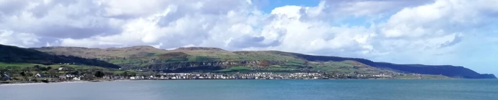
Our murder mystery trail booklets sent by email cost:

  • Mini Taster and Young Kids Whodunit Hunts: £3.99,
  • Walking Whodunit Hunts: £6.99,
  • Driving Whodunit Hunts (standard length): £7.99,
  • Deluxe Driving Whodunit Hunts: £8.99.

For pricing in Euro or other currencies see Paypal comment below. To have a Whodunit Hunt booklet printed and posted a £1.95 cost applies if you live in the UK, £3.60 for ROI addresses – reduced / combined postage for multi-purchases (e.g. postage free for a second trail)!

For a unique present, buy a gift voucher! Available too are Multi-trail vouchers giving you a discount!

You can pay for ALL Whodunit Hunts by credit / debit / AMEX card! Just visit the individual trail webpage and click the card link near the bottom of the page!

To buy multiple copies of a trail at a discount for teams to ‘compete’ (e.g. hen/stag day, team building, college event) see our Team Events page!

The photo shows an example booklet. If printing a booklet for the first time, this printing link gives guidance.

Fill in the form below only to pay by Paypal – we’ll email an invoice with instructions. (If your card isn’t in GBP, Paypal converts from your home-currency so you know you’re sending the correct amount).

Please check your junk/spam folder if you’re waiting a while to hear back from us – invoices usually issued within 15 minutes. Add our email address to your contacts to ensure booklets get to your inbox.

Use the contact page for queries about your order.

Please enable JavaScript in your browser to complete this form.
Name
If you have a discount code, or have purchased or been given a voucher, please enter the id here

crime scene tape on white

(c) 2023 – the term ‘Whodunit Hunt’, associated logo, website content, and all Hunt routes, ideas, images and photos, are protected by copyright. Any copying/distribution of anything embraced by our copyright is intellectual theft and therefore unlawful and illegal. Please respect the law as well as numerous years of our hard work.

Driving Hunts

driving direcions
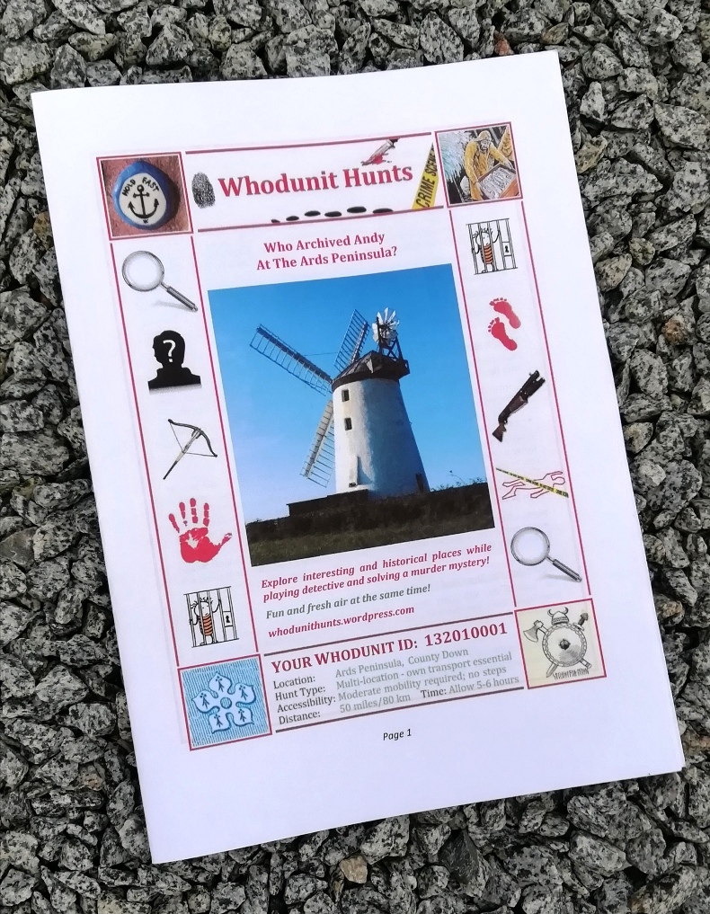
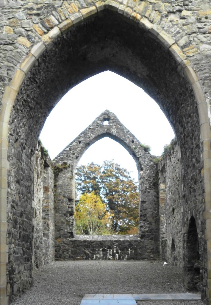
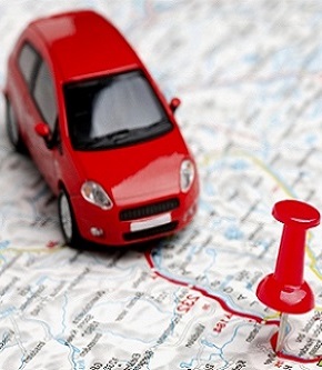
If you have access to a vehicle / motorbike (or are a super cyclist) then try a driving Whodunit Hunt! They all take you to several amazing places, include lovely scenery, and reveal much history. Some are circular routes (i.e. start and end points are nearby) while others are linear. Directions are given along the route, though sometimes you’ll be on the lookout for signs to navigate to a clue.

We have 30 Driving Whodunit Hunts available, with more in the pipeline. Click on a location link of those available for more detail. Map available at the bottom of the page to locate trails in a particular area.

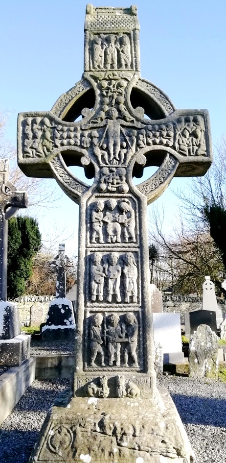
  • In County Antrim are three driving Whodunits – the Antrim Coast trail (starts at Larne), our Antrim Castles trail (starts north Belfast), and our magical Belfast Narnia Trail.
  • We’ve just launched a taster trail in North East Antrim for if you want to start off small – the Torr Road Trail starting at Cushendun.
  • The deluxe Ards Peninsula trail starts at Bangor and ends at Grey Abbey.
  • Two driving Whodunits start in Dundalk – the Blackrock Coastal Trail and our Patrick Kavanagh Trail, the latter following in the footsteps of the famous Irish poet.
  • The Boyne Valley drive starts at the amazing Monasterboice Crosses site in County Louth (shown in the photo).
  • The Cavan Lakelands trail explores the beautiful lakes of County Cavan and our new Ancient East Churches trail starts at Kingscourt and ends in County Monaghan at the amazing tin church of Laragh.
  • Our first Whodunit in County Kildare is the Clane-Maynooth Trail.
  • The Cooley Peninsula trail starts at Newry and ends near Dundalk, with beautiful coastal scenery.
  • The Diamond Trail starts near Loughgall and ends at historic Tynan village.
  • In County Donegal there are now two recently launched driving Whodunits, the stunning Inishowen Peninsula and the Barnesmore Gap Trail.
  • Our Glenshane-Heaney Trail hops between Mid Ulster and County Derry to visit numerous historic sites with stunning countryside!
  • The Harry Ferguson Trail is a taster Whodunit Hunt (for if you’re short on time) which follows in the footsteps of the famous inventor.
  • The Lecale Coast Trail, starting at Maghera near Newcastle and ending in Ardglass, is jam-packed with historic sites!
  • The Lough Neagh trail explores the western side of the Lough from Oxford Island to historic Cranfield Church.
  • Our Lower Lough Erne Trail stops at numerous historic sites all around the lough.
  • Our Meath Murder Mystery starts at ancient Athboy, visiting fabulous sites including Fore Abbey. A more recent launch is our Meath-Fingal Coast Trail that explores the coastline from Drogheda to Rush.
  • The Newry & Mourne area has several driving Whodunits – Mourne Coast, Mourne Mountains, Slieve Croob, and Slieve Gullion trails. Our Newry Canal Trail murder mystery also starts on the outskirts of Newry.
  • Our Sperrins trail explores the many historic sites in this mountainous area.
  • The St Patrick’s Trail starts at historic Inch Abbey, Downpatrick, and follows in the footsteps of St Patrick.
  • The Tassagh Trail starts at Markethill in County Armagh and ends at Darkley Wood with the fairies!
  • The Torrent Trail (named after the river) starts at Donaghmore, near Dungannon, and ends at Aughnacloy.

Most clues are suitable for wheelchair users or those with prams as our detectives have determined accessible routes as far as possible. The amount of walking is usually less than on Walking Hunts and spread across several clue stops. Check individual trail pages for full details.

Note: if you live along the clue route of a Whodunit Hunt you fancy trying but it’s inconvenient to drive to the start, simply begin with the clue that is closest to you and, once you get to the end, drive to the start and solve the rest of the clues!

On Driving Whodunit Hunts, the majority of clues aren’t far from where you park, so an accompanying dog could be left in the car if you wish. Very occasionally, several clues are at one stop and in such cases it is best to take your pet with you – maybe your dog can help sniff out one or two clues! 🙂

See the map below for available Whodunit Hunts, with driving murder mysteries indicated by a purple car symbol. Those coloured orange are for future launch – if you’re interested in hearing about them, please contact us and we’ll email you when they’re available.

Use the card or Paypal link in the page of whichever Whodunit Hunt you are interested in to purchase it.

crime scene tape on white

(c) 2023 – the term ‘Whodunit Hunt’, associated logo, website content, and all Whodunit Hunt routes, ideas, photos, are all protected by copyright. Any copying, impersonation or distribution of anything embraced by our copyright is intellectual theft and therefore unlawful and illegal. Please respect the law as well as all of our hard work.